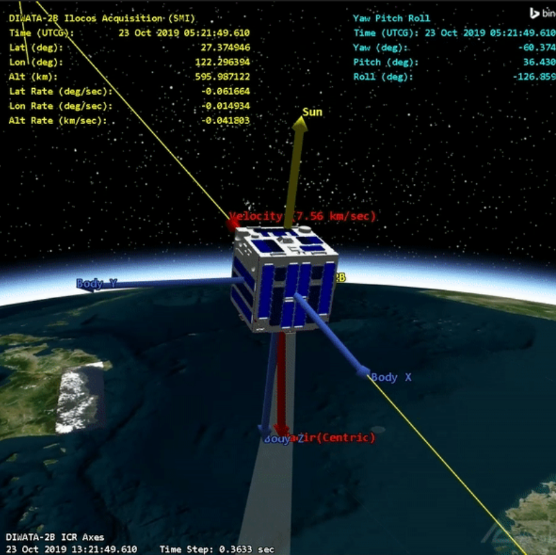
The country’s Diwata-2 Satellite marked its fourth year in space on Saturday, October 29.
Since 2018, the second 50-kilogram Earth observation microsatellite of the Philippines has captured over 112,049 images around the world and covered 94.03% or 282,088 km² of the Philippine landmass. These are utilized for its mission of environmental and natural resource monitoring, and disaster response and management.

Diwata-2 is built by researchers from the University of the Philippines Diliman (UPD) and the Advanced Science and Technology Institute of the Department of Science and Technology (DOST-ASTI) in cooperation with Tohoku University and Hokkaido University in Japan under the Philippine Scientific Earth Observation Microsatellite (PHL-Microsat) Program.
It was successfully deployed into 600 km sun-synchronous orbit (SSO orbit) on October 29, 2018 and carries optical cameras for scientific Earth observation.
The Philippine Space Agency or PhilSA now operates the Diwata-2 satellite through a Memorandum of Agreement (MOA) signed with the DOST.
As Diwata-2 enters its fifth and projected final year of mission in 2023, it will continue to orbit the Earth at 7.560 km/s at 602.8 km altitude capturing thousands more images for environmental monitoring and disaster response and management.
The satellite is also expected to cover and capture the remaining 5.97% of the country’s landmass using its SMI payload next year.
Meanwhile, the development of the country’s first and biggest commercial-grade satellite to date, the Multispectral Unit for Land Assessment or MULA, will be in full swing in 2023.
Once launched in 2025, data from MULA are envisioned to contribute to the country’s food security, disaster resilience, environment conservation, and national security.


