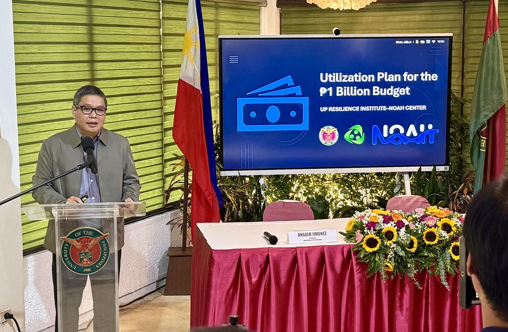
The University of the Philippines Resilience Institute (UPRI) and its NOAH Center will use a P1-billion government allocation to acquire equipment, deploy LiDAR-equipped drones, and produce higher-resolution flood-hazard maps across the country.
UPRI executive director Mahar Lagmay said about half of the allocation would go to equipment that will be distributed to state universities and colleges (SUCs). The participating schools will conduct LiDAR drone surveys and help regularly update hazard maps in their regions.
“Half of the P1-billion budget goes to equipment. And those equipment will be distributed to the state universities and colleges, so that all of the SUCs all over the Philippines will be flying the drones, updating the hazard maps,” Lagmay said at a press conference on Thursday, Aug. 27.
The P1-billion allocation, recently released by the Department of Budget and Management, will expand UPRI-NOAH’s flood mapping, hydraulic modeling, watershed assessment, and disaster-risk information systems.
Project NOAH, launched in 2012, previously mapped about 70% of the Philippines for flood hazards, according to Lagmay. However, the earlier maps had a resolution of about 10 meters per pixel, limiting the details available to communities and government planners.
Using LiDAR and newer geospatial technologies, UPRI-NOAH plans to produce hazard maps with a resolution of up to one meter per pixel. The resulting maps will show flood risks at street level, including affected roads, agricultural land, fishponds, waterways, infrastructure, and communities.
The data will also be used to identify safer locations for housing, development projects, and evacuation centers.
“The business of hazard mapping is not just to identify the hazards but, more importantly, to identify the safest places in a community for development and for siting evacuation centers,” Lagmay said.
“You cannot find a solution if you do not understand the problem. Once you understand the problem with better science, with better technologies, you can find the appropriate solutions,” he added.
UPRI-NOAH will partner with SUCs not only to operate the LiDAR drones but also to develop regional expertise in geospatial analysis and resilience planning. The program will include training for faculty members, researchers, and students.
The flood maps will support Oplan Kontra Baha, the government’s flood-control initiative involving the Department of Public Works and Highways, Metropolitan Manila Development Authority, local governments, and other institutions.
Under the program, UPRI-NOAH will combine LiDAR-derived terrain data with information on watersheds, waterways, drainage systems, infrastructure, land use, and exposed communities.
Lagmay said flood-control planning should cover entire river basins instead of treating projects as isolated interventions within individual cities or municipalities.
“Floods do not recognize administrative boundaries,” he said. “We want to model the whole watershed so that we know the exact and the best approach.”
“If you do infrastructure in one place, the water transfers to another place. We want to be transparent about that,” he added.
UPRI-NOAH will use one-dimensional and two-dimensional hydraulic models to simulate surface runoff, underground drainage flows, pump-station performance, and the effects of proposed flood-control infrastructure.
Projects presented by the institute include simulations involving the Matalahib-Talayan Pump Station, G. Araneta drainage improvements, the Parañaque Spillway Project, and drainage systems at Camp Aguinaldo.
The simulations are intended to determine how much a proposed project could lower floodwater levels before the government spends on construction.
“Even before we invest in it, we can see through the technologies, through the science, through simulations,” Lagmay said. “So that we know if our investments yield the best benefit-cost ratio.”
The institute will also study major detention basins by examining their storage capacity, drainage connectivity, downstream effects, and performance during extreme rainfall and under future climate conditions.
Other activities covered by the allocation include mapping buried or undocumented waterways, assessing soil erosion and sediment delivery, conducting native-tree inventories, and studying nature-based flood measures such as wetlands, permeable surfaces, urban green spaces, and watershed rehabilitation.
Artificial intelligence and advanced analytics will be used alongside the flood and hazard data to develop decision-support tools for forecasting, early warning, exposure assessment, infrastructure planning, and the identification of vulnerable communities.
UP president Angelo Jimenez said these technologies should ultimately translate into better protection for the public.
“But I want to emphasize one thing about all of this technology: Technology is not the end. AI is not the end. A map is not the end. A model is not the end,” Jimenez said.
“The end is a safer Filipino community. The end is a family that receives a warning early enough to get to safety. The end is a local government that knows where its vulnerabilities are before it decides where to build or allow others to build,” he added.
UP said every major expenditure under the P1-billion allocation would be tied to a defined program, implementation plan, public purpose, technical output, measurable indicators, and monitoring and evaluation mechanism.
The UP System will document and monitor disbursements, which will remain subject to government procurement and auditing rules.